Rundle Mountain, Alberta – Slaying the sleeping dragon
Not even the song birds were up at this hour. Up before the sunrise, anticipating a long, grueling scramble to the top of Rundle Mountain – one of the most recognized peaks in the Canadian Rockies looming over the town of Banff.
My alarm clock didn’t even have to go into overdrive, for this was a hike that I had been looking forward to well before even visiting the Rockies, jumping out of bed was quite easy, the hike itself would not be.
My pack had been ready to go the night before, stuffed to the seams with extra clothes, water, trail mix, first aid kit and sunscreen. The excitement of this trip gave me butterflies in my stomach and stunted my appetite, but I knew better then to skip breakfast before such a daunting task.
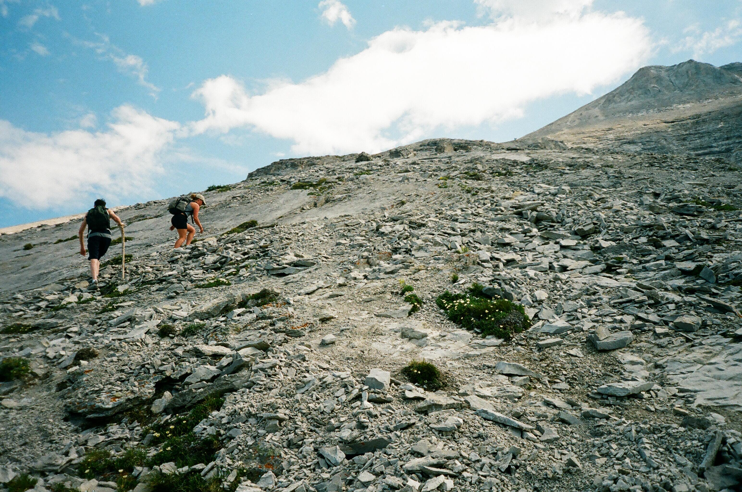
The task ahead – better than any treadmill I’ve ever experienced.
With Breakfast out of the way I stood anxiously out on the sidewalk of my apartment on the corner of Spray Ave. This road runs off the main drag of Banff Ave where the luxurious Banff Springs Hotel stands as the “Castle of the Rockies” at the roads end. The renowned grand railway hotel was named after the town Banffshire in Scotland, now known simply as Banff and the thermal hot springs located in the area which continue to draw tourists from around the world. The hotel was designed and constructed in the Scottish Baronial style, giving it the castle like appearance. A grand and solid structure made from stone that had been excavated from the base of Rundle Mountain herself, it’s summit clearly visible behind the dark limestone walls of the hotel.
Many inspiring thoughts ran through my mind in that moment. Thoughts of determined men chiseling away at the seemingly impenetrable mountain, dreaming of constructing a symbolic structure were the wealthy could come from afar to smoke fine cigars and delight themselves in expensive whiskeys while being surrounded by mountains.
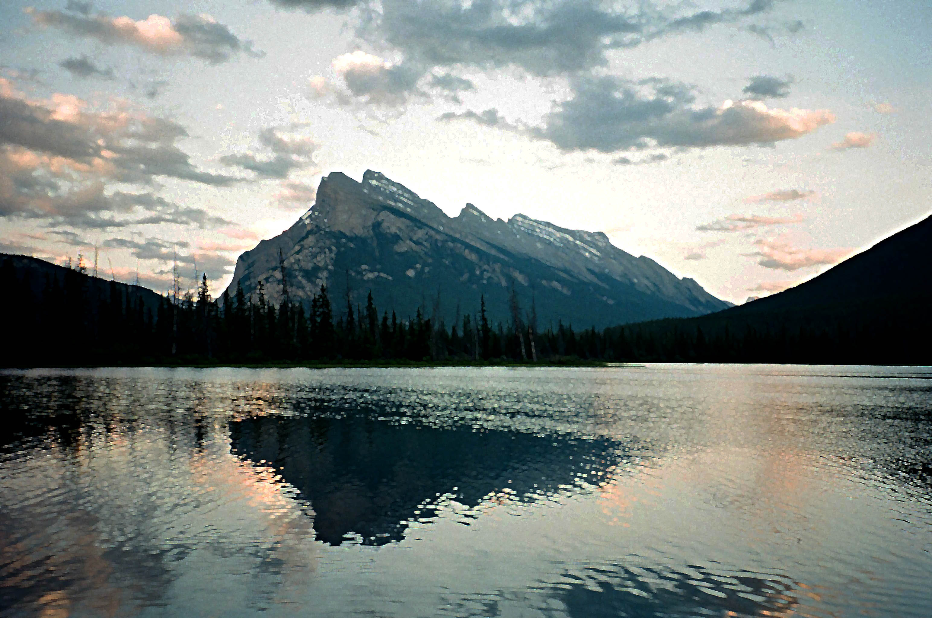
Rundle Mountain from Vermillion Lakes.
The castle would stand overlooking the Bow Valley River, a turquoise velvet river slithering it’s way between the tree clad Tunnel Mountain and the rocky ridge of Rundle Mountain before the river meandered and changed it’s course past the Fairholme Mountain Range which would provide the perfect backdrop, now known as the “Million Dollar View”.
Just before loosing myself completely in thought, my ride and fellow climbing companions pulled up. The 4 of us would be more then friends today, we would be a team, working together for the thrill of reaching the summit and encouraging each other to keep pushing harder when ones spirit and motivation would be in doubt from exhaustion.
The 6-10 hour round trip would be challenging but what a boring life it would be if we never got out and challenged ourselves every once in a while. I’ve always been a strong believer in taking risks and breaking the boundaries – for if you come out on the other end with only mere scratches you learn something very valuable about yourself, embrace the experience and will ultimately build on your character.
The beginning portion of the trail had us hiking along the lower eastern slopes, facing the Spray River valley and winding our way through a forest of mature Pine and Fir trees. Before long the trail twist and turned up a series of steep switchbacks. A great way to get the heart rate up in the morning I tell you.
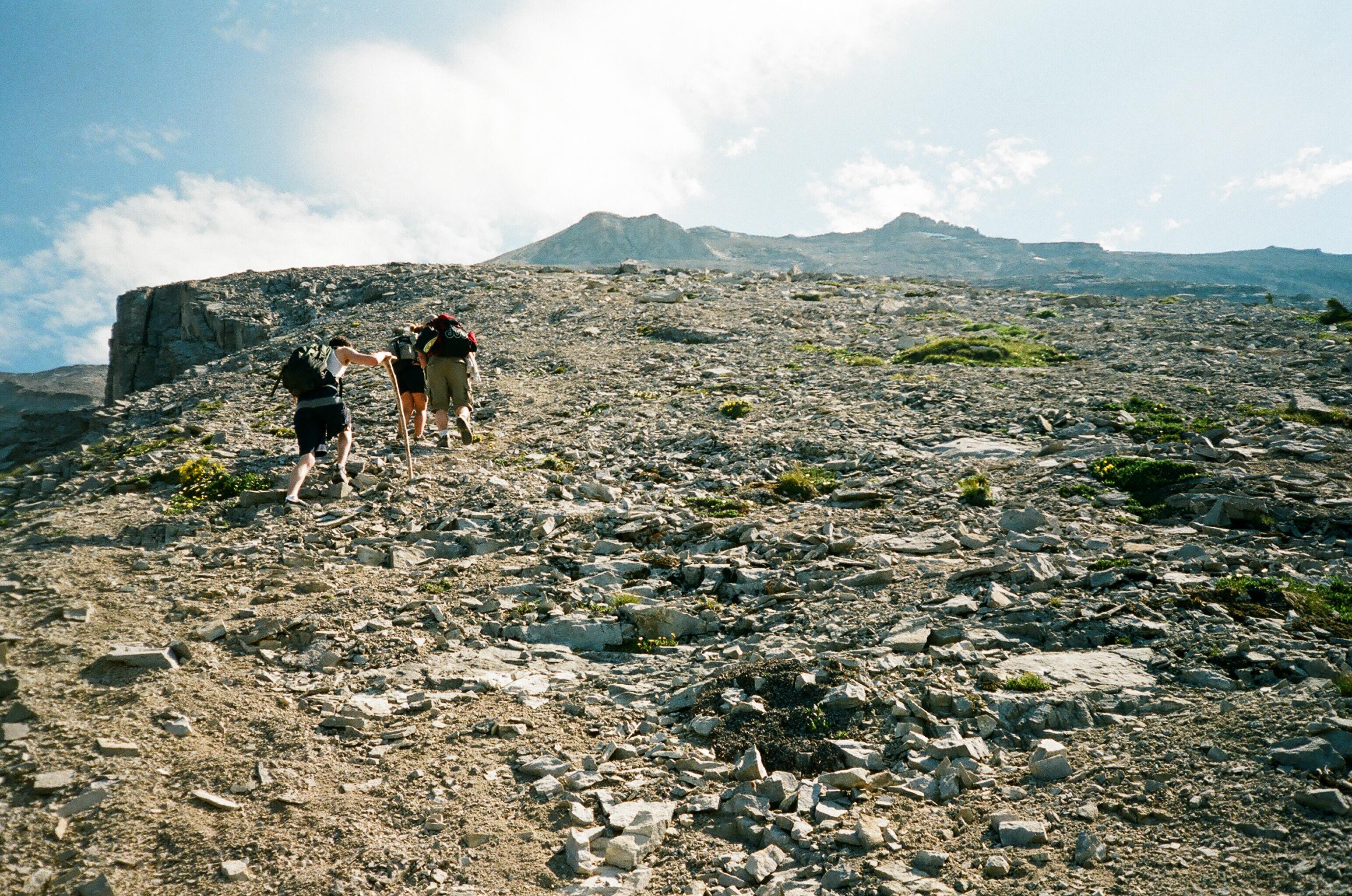
The trail becoming steeper and steeper.
After roughly 1 1/2 hrs the trail leveled off, giving us a much needed break from the relentless treadmill we just endured. At this point spirits were high and we were energized and ready for the even steeper scramble ahead. Just before the trail would continue vertically up the mountain we came upon the “Central Gully”. An enormous scar from the constant melting of snow and running water from the upper slopes making it’s way down the mountain on Rundle’s Eastern side. If you were to imagine Rundle as a giant birthday cake, it was as if someone had cut a sliver of cake from the mountain, leaving this boulder riddled gully as the result.
We decided to stop for a break, fuel up on snacks and refreshments and marvel at the view up the gully towards the rocky peaks. Just then an older couple (in their mid 60′s we presumed) broke through the trees and began conversation with us. It wasn’t long before they correctly identified me as an “East Coaster”. How could they tell this? By my low cut hiking shoes amazingly. This was no ordinary couple I tell you. These two had just finished telling us they have climbed this mountain more than 70 times and have climbed most of the accessible mountains in the Banff National Park, having grown up and living here all of their lives. They jokingly made one last gesture at my shoes and off they went, taking off at the speed of light up the trail and into the trees once again.
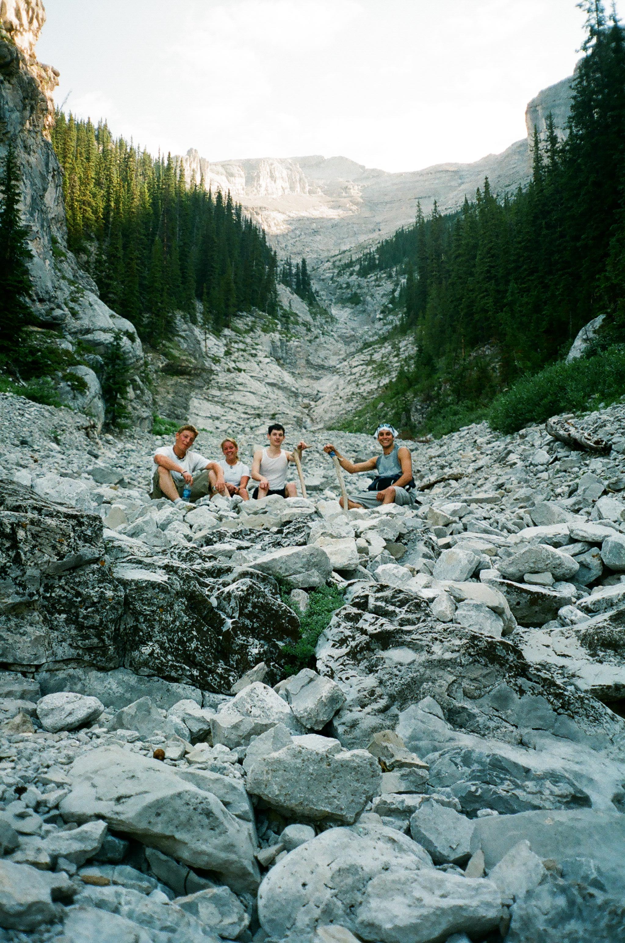
Resting among the piles of rock in the Central Gully.
Deciding we weren’t going to be shown up by a couple of seniors we got back on our high horse and hurried up the trail to catch up with our new friends – good luck with that, they were racing up the slope like a pair of mountain goats. We thought it was best to take our time, so we could enjoy our surroundings, yeah that’s the reason.
The trees became more sparse and the views began to open up. We could now see the valley far below and directly across from us was Sulphur Mountain, baring her scars from melting water and frequent avalanches in the brisk winters here.
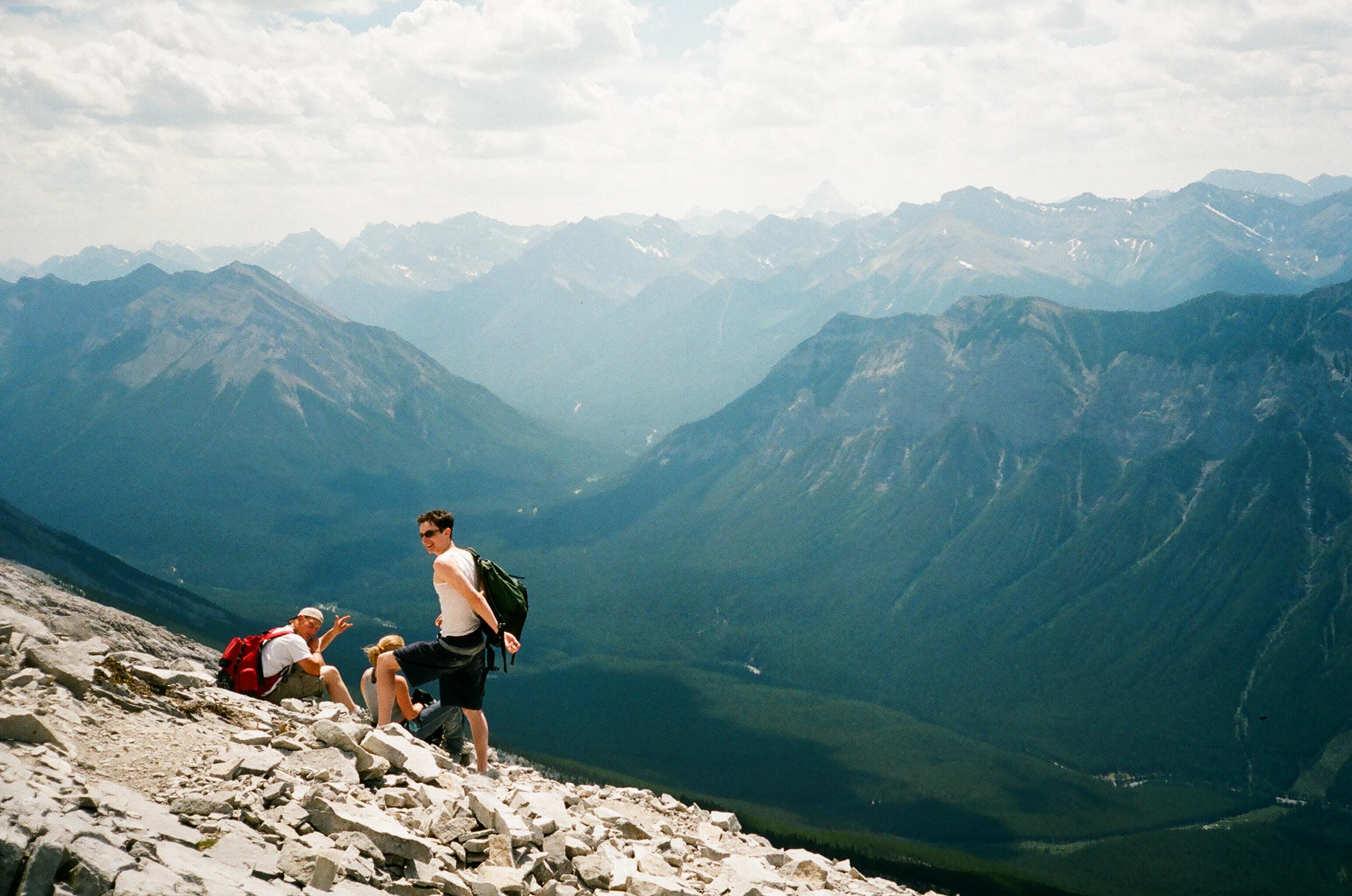
High above the Spray River valley.
The higher we climbed the more frequent we stopped to appreciate the work of mother nature. An alphine vista was on full display with rugged peaks from hundreds of mountains clustered across the land. One mountain however stood out like a sore thumb – Mt Assiniboine. This monstrous peak sits on the Alberta and British Columbia border and the Great Divide. It is the highest peak in the Southern Canadian Rockies at 11,870 ft and remarkably resembles the Matterhorn in Switzerland for it’s near perfect pyramid symmetry.
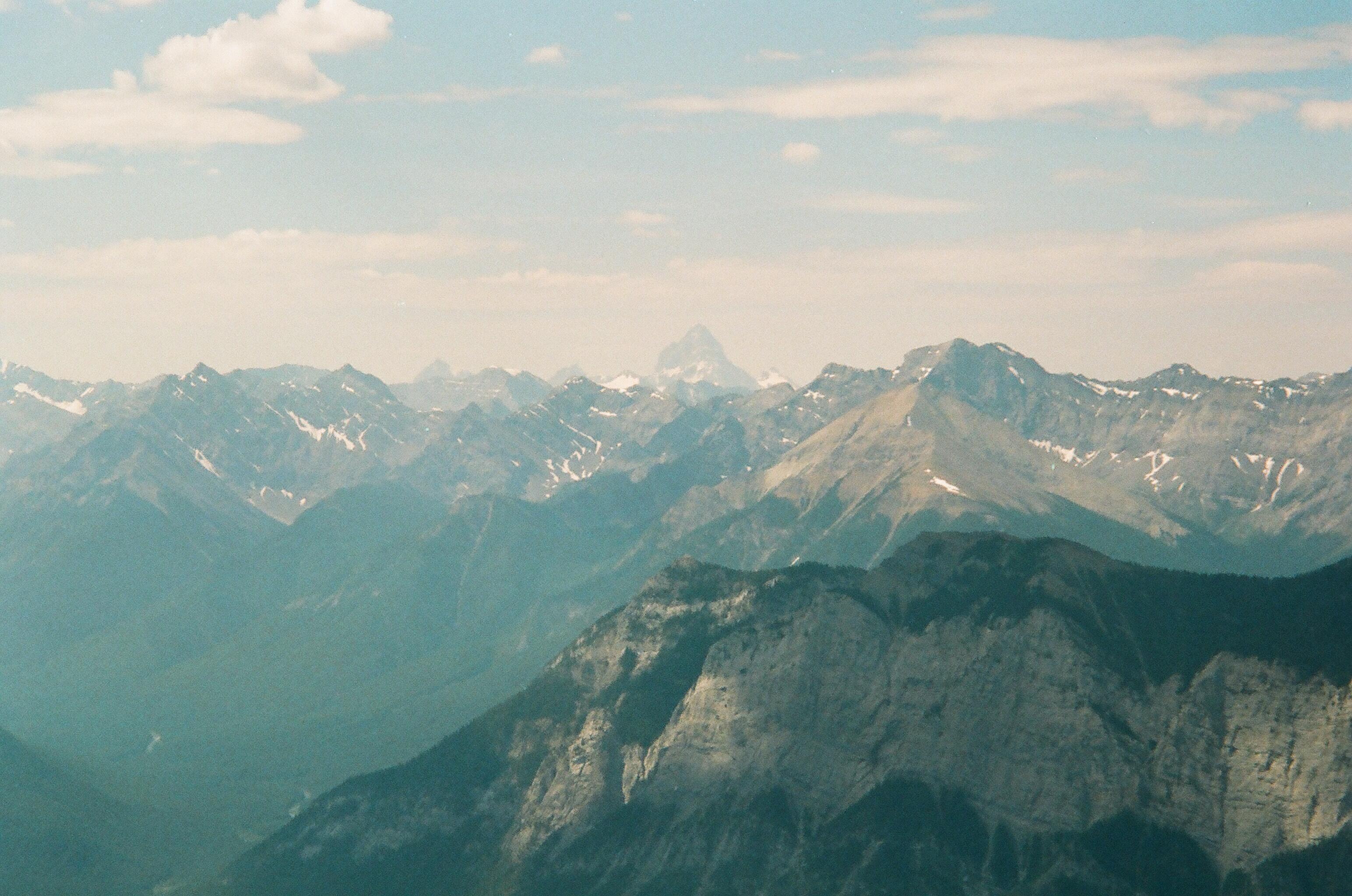
The pyramid peak of Assiniboine in the distance.
The climb became challenging with loads of lose scree, two steps forward and one sliding step backwards was the pace. We were now climbing the “Dragon’s Back” – a ridge with the Central Gully dropping hundreds of feet on our left and a similar drop on our right. Once past the Dragon’s Back the climb was a long and teasing ordeal, as the summit was visible from now till the top – so close yet so far away.
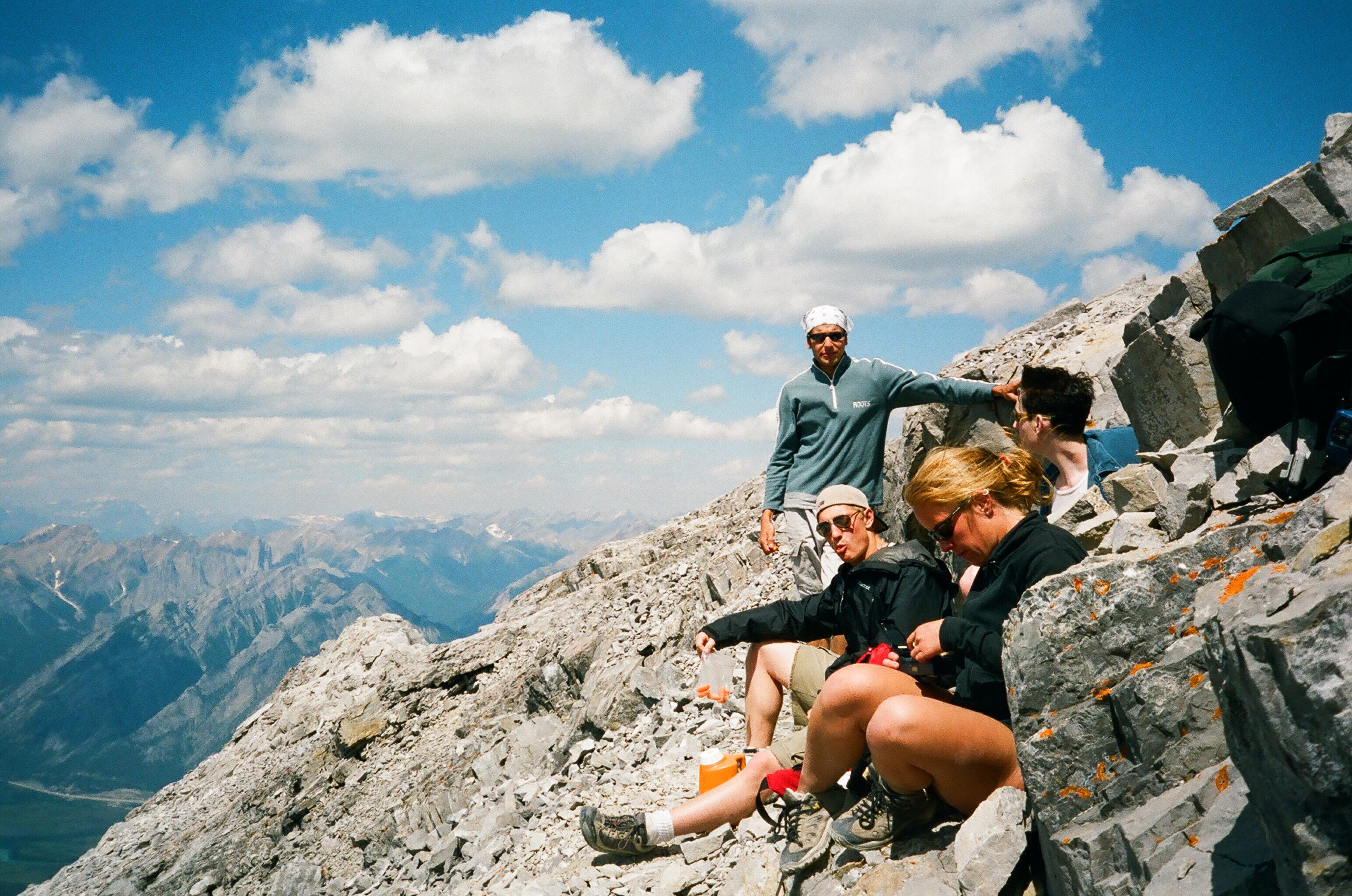
A much needed break before our summit bid.
We were just about at the summit when we meet up with our “Super Senior” friends who were on their way back down. Said they spent the last hour on the summit and were waiting for us but got tired of waiting. We all had a good chuckle, wished one another a safe journey and we went our separate ways.
We reached the summit just after noon and couldn’t have picked a better day. Puffy cumulus clouds bounced in the sky, lush green forests covered the valley floor, while pale gray mountains reached towards the endless blue palate. While the Eastern side of Rundle is geologically referred to as a dip slope or writing desk formation, the Western side is the exact opposite. From the summit ridge the mountain drops vertically for thousands of feet to the valley below where the Bow River runs along side the Trans Canada Highway, heading back towards Calgary.
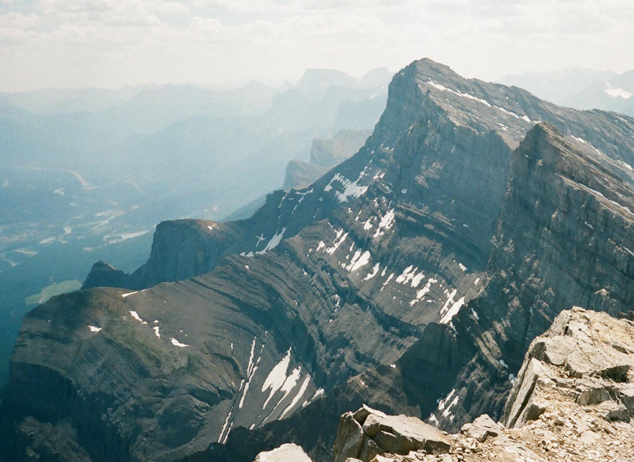
The vertical drop from Rundle’s summit.

Mother Nature and I having an intimate moment.
The view was superb. The vibrant waters of Lake Minnewanka, shadows passing over Alymer Mountains pointy summit, Cascade Mt and the town of Canmore were all within a stones throw away, or so it seemed from up here. We shared the summit with 3 other people, there was magic in the air that day – sharing a beer on the top of that mountain without a care in the world. Our legs sure ached but that was a small price to pay for this empowering experience.
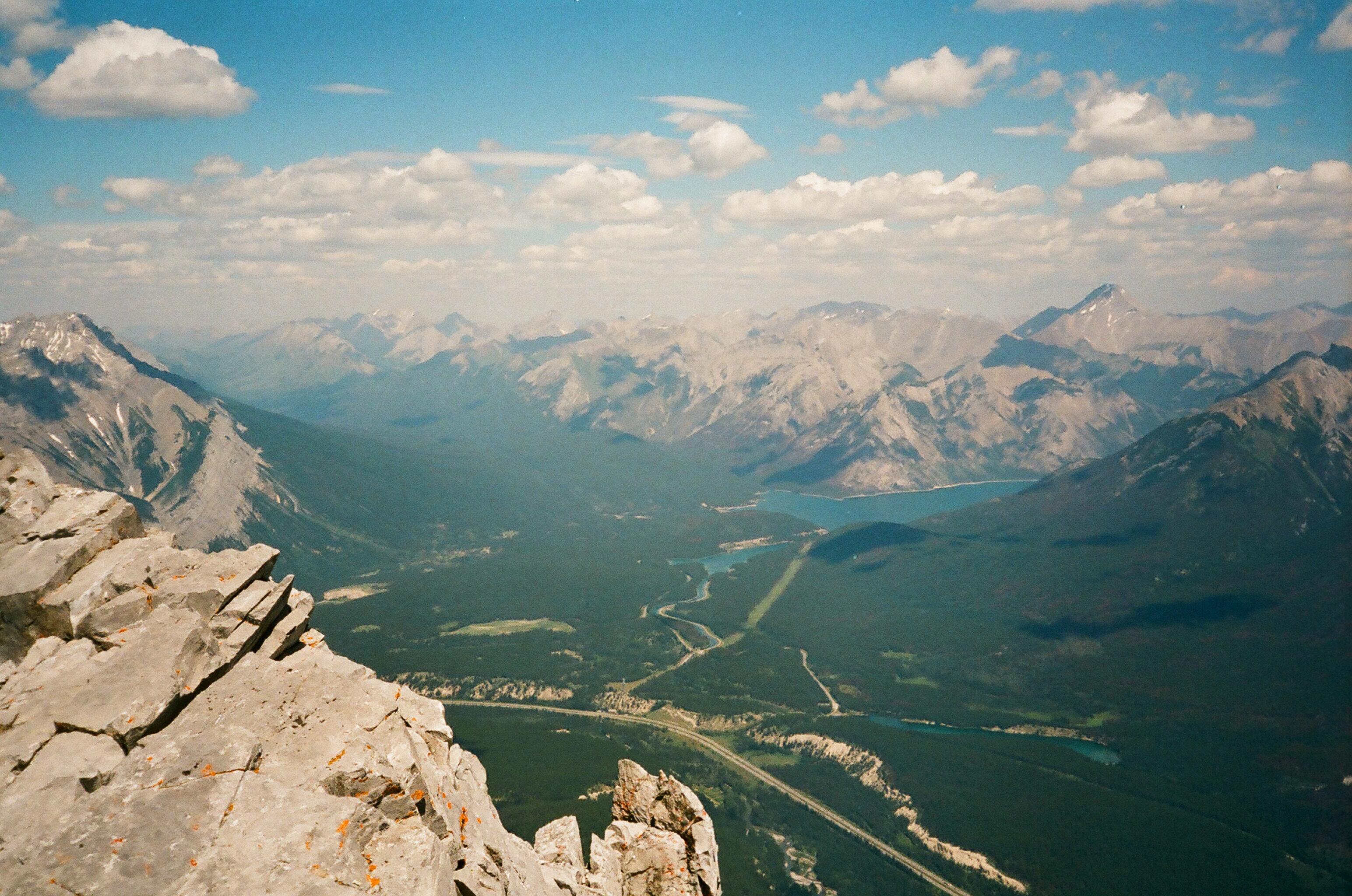
Summit view towards Lake Minnewanka.
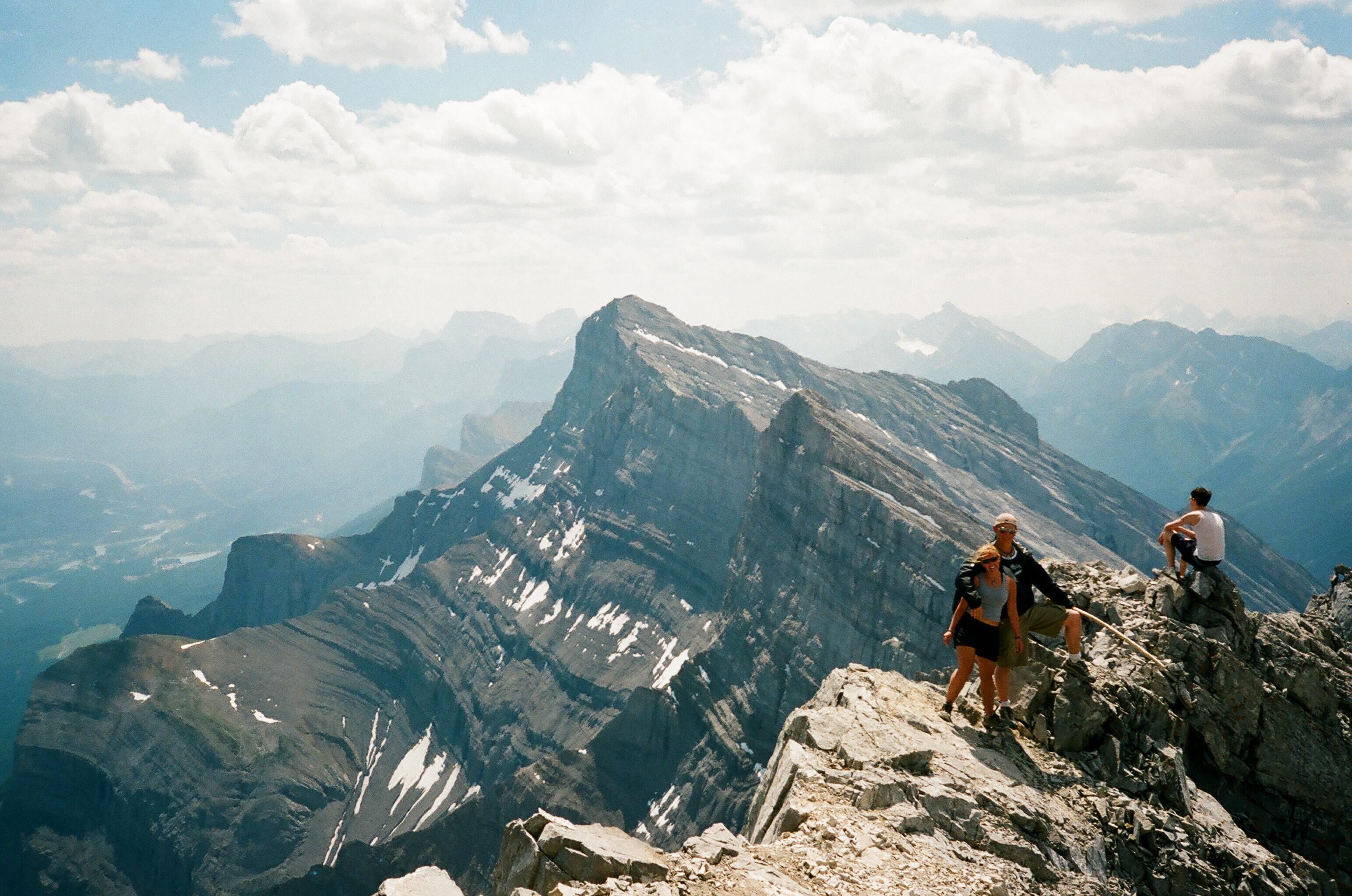
Feeling on top of the world.
We began our descent down the dip slope, placing our steps carefully into the loose rock. At times seemingly skiing down the snow-less mountain, leaving a plume of dust trailing behind us like a jet in the open skies.
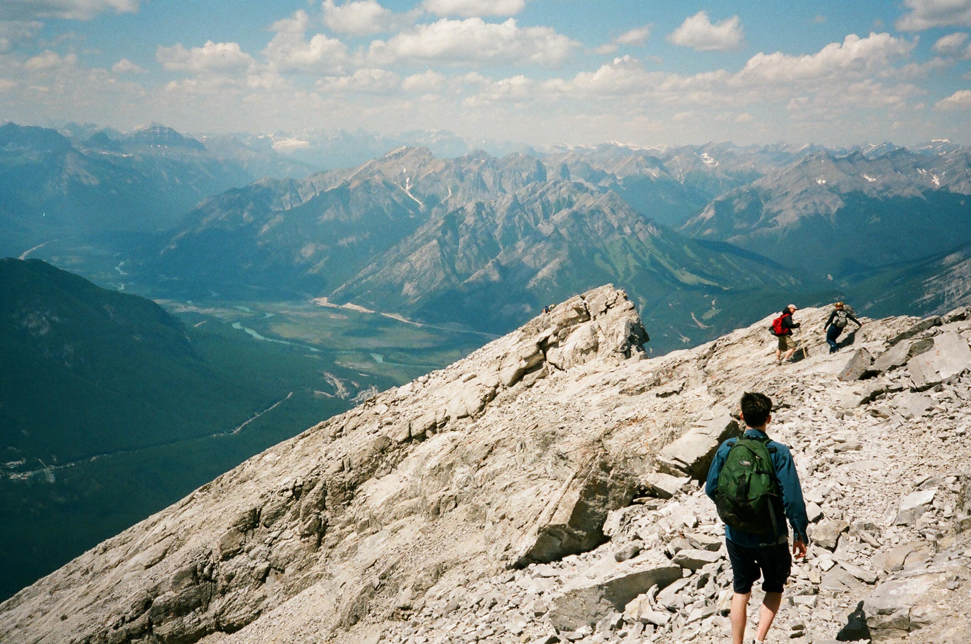
Heading back down the summit ridge.
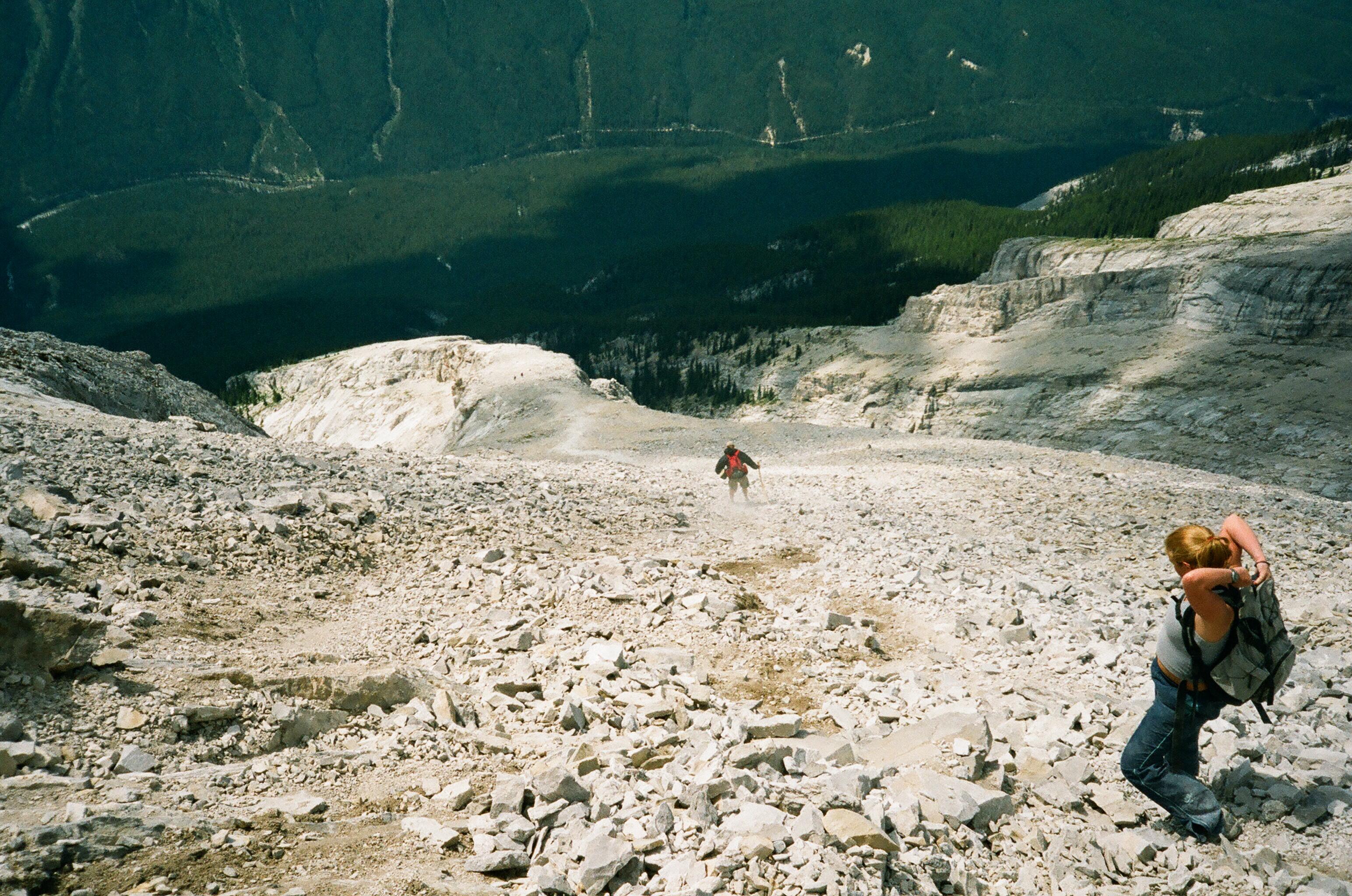
Summer skiing on the “Dragon’s Back”.
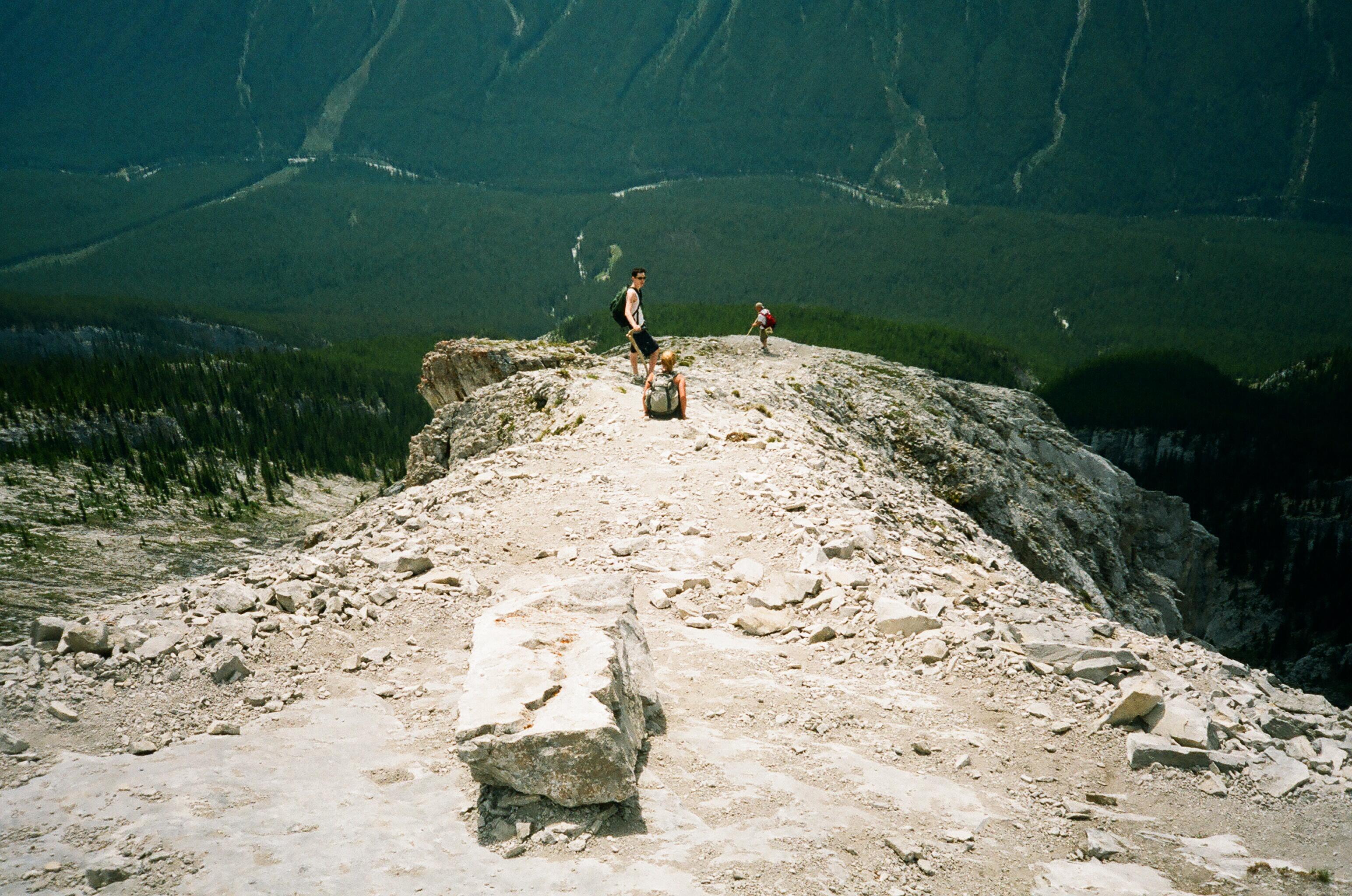
Cautiously making our way down the knife like ridge.
They say that one never really conquers a mountain, but I felt as if I conquered something that day, maybe it just happened to be something within myself.
“You never conquer a mountain. You stand on the summit a few brief minutes and then the wind blows away your footprints”. – Arlene Blum
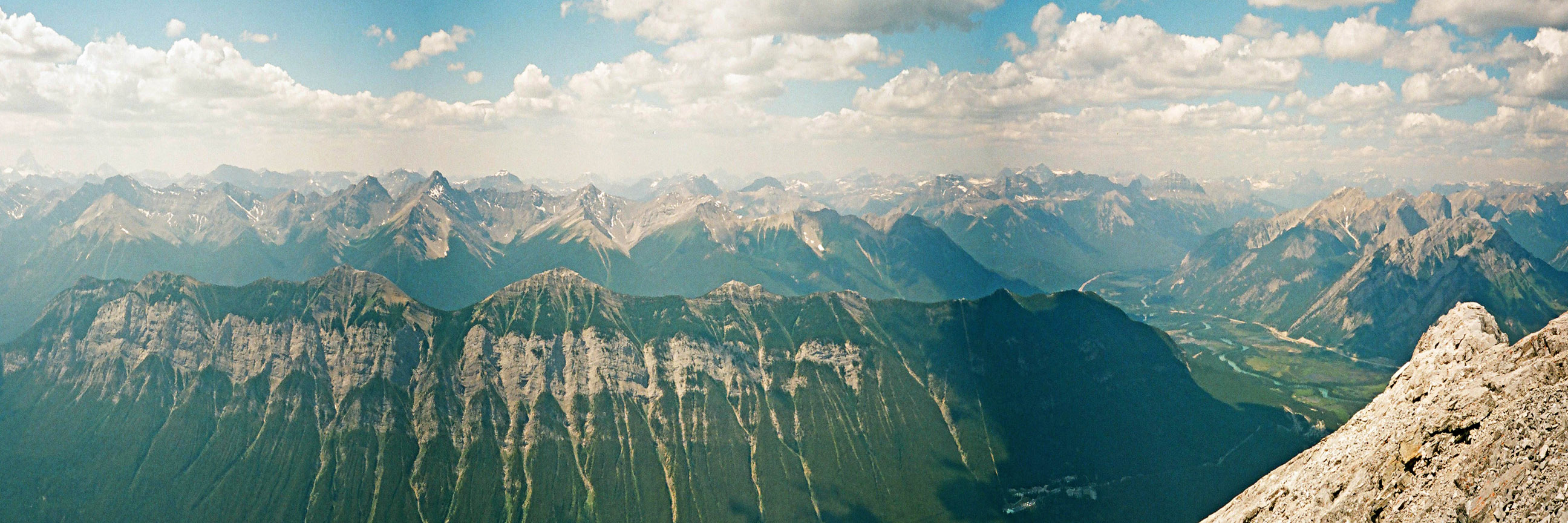
Panoramic view from Rundle’s summit towards the scared slopes of Sulphur Mountain.


I want to do this !!